|
Year 6 developed their map reading skills through comparing old maps with new. Using maps from the Victorian Era and current day, they located buildings which were once workhouses. On the trail, several skills were achieved: Children learned the importance of orientation in order to understand direction. They compared old map symbols with new. They also had to track their journey and measure the distance they walked using scale. On the walk, interesting observations were made about road changes and layout and the possible reasons for this. 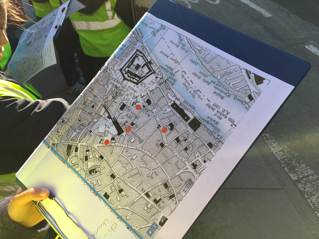 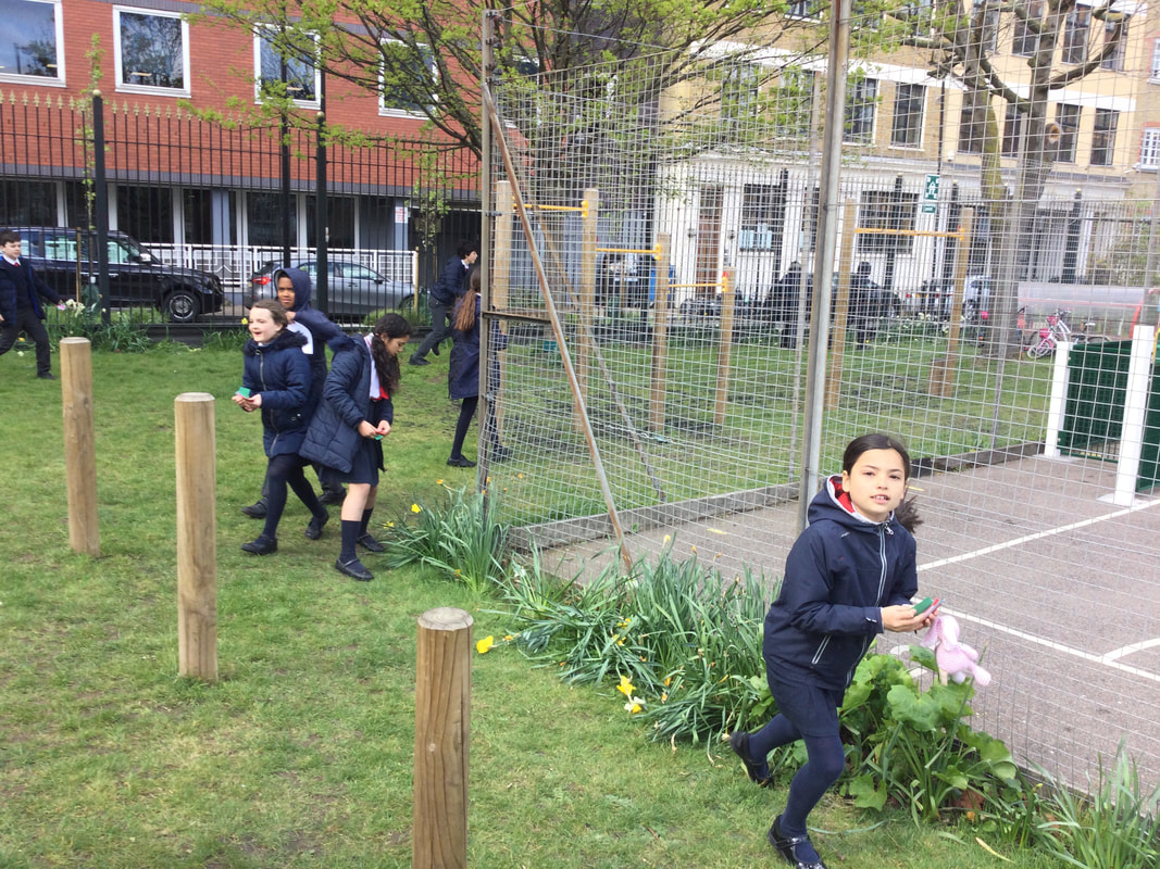 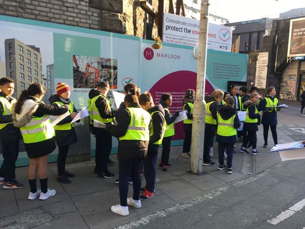 Comments are closed.
|
Year 6 Learning Gallery 2022-2023Find out what is happening in Year 6 Archives
February 2024
Categories |

 RSS Feed
|
English Martyrs Catholic Primary School, St Mark Street, London. E1 8DJ
Tel. 020 7709 0182 |
|